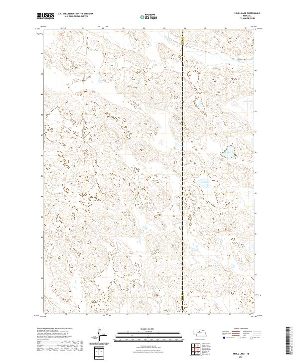
2021 Map of Skull Lake
USGS Topo · Published 2021About this map
Calamus River meanders across the northern reaches of this section of the Nebraska Sandhills, defining a landscape dominated by natural depressions and seasonal basins. This 2021 survey illustrates the hydrologic character of the eastern edge of Cherry County as it meets Brown County, where water accumulates in prominent features like Skull Lake and Rush Lake. The presence of Clapper Marsh in the northeast corner further indicates the low-lying, wetland-rich nature of the terrain. Primarily organized by the Public Land Survey System, the area is divided into several townships including t28n r25w and t27n r24w, reflecting a remote ranching landscape where development is sparse and natural water bodies dictate the geography.
Find a feature on this map
11 named features on this map. Tap any name to fly to it.
Don’t see what you’re looking for? This feature index may not catch every label — zoom into the map to look around manually.
Map Details
Editions of this 2021 Skull Lake Map
This is the sole edition of this map. No revisions or reprints were ever made.
Other maps of this area

1949 · Purdum
USGS Topo · 1:62,500

1949 · Koshopah
USGS Topo · 1:62,500

1949 · Long Lake
USGS Topo · 1:62,500

1951 · Long Lake
USGS Topo · 1:62,500

1951 · Purdum
USGS Topo · 1:62,500

1951 · Moon Lake
USGS Topo · 1:62,500

1951 · Koshopah
USGS Topo · 1:62,500

1957 · Valentine
USGS Topo · 1:250,000

1959 · Valentine
USGS Topo · 1:250,000

1985 · Wilson Valley
USGS Topo · 1:24,000