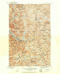
1902 Map of Skykomish
USGS Topo · Published 1902About this map
The Great Northern Railway corridor dictates the movement and settlement patterns of this central Cascade Range landscape at the dawn of the twentieth century. Running parallel to the Skykomish River, the tracks link mountain outposts like Skykomish and Scenic before disappearing into the original Cascade Tunnel. This engineering feat represents the primary artery for trade and travel across the mountain divide, connecting the coastal lowlands to the interior.
Find a feature on this map
189 named features on this map. Tap any name to fly to it.
Don’t see what you’re looking for? This feature index may not catch every label — zoom into the map to look around manually.
Map Details
Editions of this 1902 Skykomish Map
This is the sole edition of this map. No revisions or reprints were ever made.
Other maps of this area
1897 · Mount Stuart
USGS Topo · 1:125,000
1899 · Glacier Peak
USGS Topo · 1:125,000
1899 · Stillaguamish
USGS Topo · 1:125,000
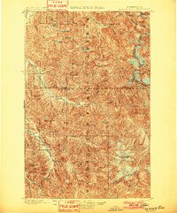
1901 · Glacier Peak
USGS Topo · 1:125,000
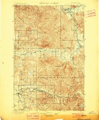
1901 · Stilaguamish
USGS Topo · 1:125,000
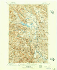
1901 · Chiwaukum
USGS Topo · 1:125,000
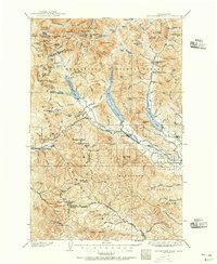
1901 · Snoqualmie Pass
USGS Topo · 1:125,000
1902 · Mount Stuart
USGS Topo · 1:125,000
1902 · Stehekin
USGS Topo · 1:125,000
1903 · Snoqualmie
USGS Topo · 1:125,000