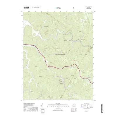
1966 Map of Slade
USGS Topo · Published 1968About this map
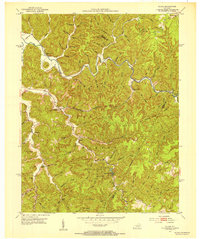
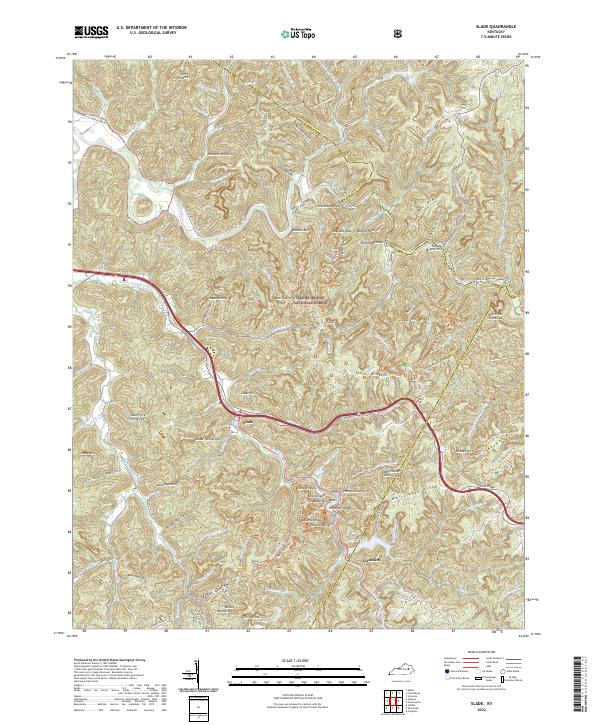
The Red River and its forks carve through the heart of the Daniel Boone National Forest, defining a landscape of deep hollows and narrow sandstone ridges. Centered on the town of Slade, this 1966 revision documents the area during the expansion of modern infrastructure, most notably with the construction of the Slade Interchange connecting local routes to the regional Parkway. The map captures the small settlements of Nada and Lombard PO, alongside the legacy of the Mountain Central Railroad winding through the terrain. The presence of Natural Bridge State Park highlights the region's geological significance, featuring world-renowned formations like Nada Tunnel and the Nada Arches. From the Middle Fork Ch to the Frenchburg Job Corps Conservation Center, the map details a community deeply integrated with its complex topography, including numerous named natural features such as Courthouse Rock and Pinch-Em-Tight Ridge.
Find a feature on this map
109 named features on this map. Tap any name to fly to it.
Don’t see what you’re looking for? This feature index may not catch every label — zoom into the map to look around manually.
Map Details
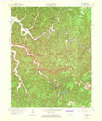
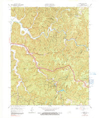
Editions of this 1966 Slade Map
2 editions found
Historical Maps of Glencairn Through Time
7 maps found