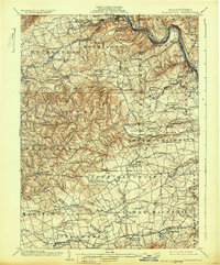
1902 Map of Slatington
USGS Topo · Published 1931About this map
Slatington sits at the heart of this industrial landscape along the Lehigh River, where the region's extraction and transportation networks converged at the turn of the century. The map documents the extensive Consolidated Slate Quarries near Slatedale and the older Lehigh Furnace, illustrating the transition from early iron production to the massive slate operations that defined the Lehigh Valley's northern reach. Beyond the river, the terrain is shaped by the prominent Blue Mountain ridge, featuring Bake Oven Knob as a dominant landmark overlooking the numerous townships of Lehigh and Berks counties.
Find a feature on this map
160 named features on this map. Tap any name to fly to it.
Don’t see what you’re looking for? This feature index may not catch every label — zoom into the map to look around manually.
Map Details
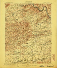
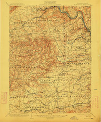
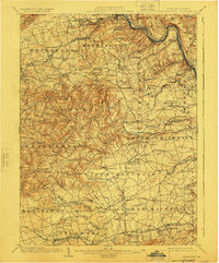
Editions of this 1902 Slatington Map
5 editions found
Other maps of this area

1888 · Quakertown
USGS Topo · 1:62,500

1889 · Hazleton
USGS Topo · 1:62,500

1890 · Quakertown
USGS Topo · 1:62,500

1891 · Hazleton
USGS Topo · 1:62,500

1893 · Hazleton
USGS Topo · 1:62,500

1894 · Reading
USGS Topo · 1:62,500

1894 · Allentown
USGS Topo · 1:62,500

1894 · Quakertown
USGS Topo · 1:62,500

1902 · Boyertown
USGS Topo · 1:62,500

1902 · Slatington
USGS Topo · 1:62,500