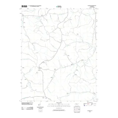
2010 Map of Slayden
USGS Topo · Published 2010About this map
Slayden serves as the primary focal point of this North-Central Tennessee landscape, situated amidst a dense network of family-named cemeteries and rural branches. The terrain is deeply etched by a complex drainage system, where the Sullivan Branch and Bryant Branch feed into the surrounding lowlands. A high concentration of burial sites, including Schmittou Cemetery, Baggett Cemetery, and Slayden Cemetery, provides significant genealogical touchpoints across the countryside.
Find a feature on this map
78 named features on this map. Tap any name to fly to it.
Don’t see what you’re looking for? This feature index may not catch every label — zoom into the map to look around manually.
Map Details
Editions of this 2010 Slayden Map
This is the sole edition of this map. No revisions or reprints were ever made.
Other maps of this area

1931 · Erin
USGS Topo · 1:62,500

1936 · Ruskin
USGS Topo · 1:24,000
1953 · Ruskin
USGS Topo · 1:24,000

1956 · Nashville
USGS Topo · 1:250,000

1958 · Charlotte
USGS Topo · 1:24,000

1958 · Cumberland Furnace
USGS Topo · 1:24,000
1958 · Vanleer
USGS Topo · 1:24,000
1958 · Palmyra
USGS Topo · 1:24,000
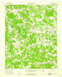
1958 · Slayden
USGS Topo · 1:24,000
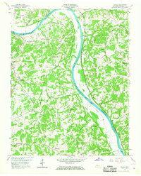
1958 · Excell
USGS Topo · 1:24,000