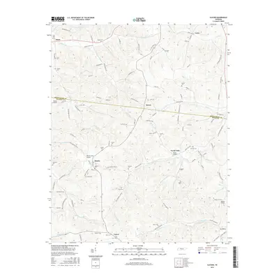
2016 Map of Slayden
USGS Topo · Published 2016About this map
Slayden and Vanleer sit within a landscape marked by deep hollows and family-named cemeteries across the Montgomery and Dickson County line. This 2016 edition reveals a high density of rural burial sites, including the Slayden Cem, Keele Cem, and Suggs Cem, which provide significant points of interest for genealogical research in this part of Tennessee. The terrain is defined by numerous watercourses such as Little Bartons Creek and the Woods Valley Branch, which carve through the land forming Thorne Hollow and Raney Camp Hollow. The map detail follows the winding paths of rural routes like Woods Valley Road and Butcher Ridge Road, connecting smaller communities like Marion and Woods Valley. These transportation and settlement patterns reflect a persistent rural structure, where small crossroads and stream-side hollows remain the primary geographic anchors.
Find a feature on this map
111 named features on this map. Tap any name to fly to it.
Don’t see what you’re looking for? This feature index may not catch every label — zoom into the map to look around manually.
Map Details
Editions of this 2016 Slayden Map
This is the sole edition of this map. No revisions or reprints were ever made.
Other maps of this area

1931 · Erin
USGS Topo · 1:62,500

1936 · Ruskin
USGS Topo · 1:24,000
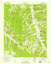
1953 · Ruskin
USGS Topo · 1:24,000

1956 · Nashville
USGS Topo · 1:250,000

1958 · Charlotte
USGS Topo · 1:24,000

1958 · Cumberland Furnace
USGS Topo · 1:24,000
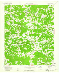
1958 · Vanleer
USGS Topo · 1:24,000
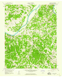
1958 · Palmyra
USGS Topo · 1:24,000
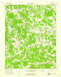
1958 · Slayden
USGS Topo · 1:24,000
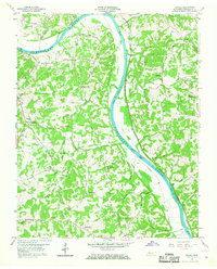
1958 · Excell
USGS Topo · 1:24,000