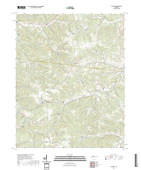
2022 Map of Slayden
USGS Topo · Published 2022About this map
The rolling timberlands and creek valleys along the border of Montgomery and Dickson counties define this area, where a high concentration of small family and community burial grounds reflects generations of rural settlement. Slayden and Vanleer serve as the primary hubs in the south, while smaller locales like Marion and Woods Valley anchor the central hills. The landscape is deeply incised by drainages such as Little Bartons Cr and Baggett Br, creating the numerous hollows that dictated early road patterns. For genealogists, the map is remarkably dense with specific landmarks including the Slayden Church of God Cem, Schmittou Foster Cem, and Greene Cem. These sites, along with names like Thorne Hollow and Raney Camp Hollow, provide a precise spatial framework for tracing family roots through this dissected Tennessee terrain.
Find a feature on this map
114 named features on this map. Tap any name to fly to it.
Don’t see what you’re looking for? This feature index may not catch every label — zoom into the map to look around manually.
Map Details
Editions of this 2022 Slayden Map
This is the sole edition of this map. No revisions or reprints were ever made.
Other maps of this area

1931 · Erin
USGS Topo · 1:62,500

1936 · Ruskin
USGS Topo · 1:24,000
1953 · Ruskin
USGS Topo · 1:24,000

1956 · Nashville
USGS Topo · 1:250,000

1958 · Charlotte
USGS Topo · 1:24,000

1958 · Cumberland Furnace
USGS Topo · 1:24,000
1958 · Vanleer
USGS Topo · 1:24,000
1958 · Palmyra
USGS Topo · 1:24,000
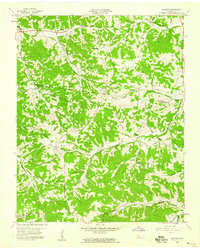
1958 · Slayden
USGS Topo · 1:24,000
1958 · Excell
USGS Topo · 1:24,000