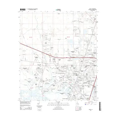
2015 Map of Slidell
USGS Topo · Published 2015About this map
St. Tammany Parish displays a dense residential and riparian landscape in this mid-2010s survey, centered on the growing suburban reaches of Slidell. The map reveals an intricate network of modern subdivisions such as Oak Manor Estates, Woodlawn Acres, and Huntwyck Village interspersed among established local landmarks. Waterways define the region's geography, with the winding paths of Liberty Bayou and Bayou Bonfouca providing a natural framework for the surrounding communities. To the northeast, the town of Pearl River and the settlement of Saint Joe mark the approach to the river valley, while the Norfolk Southern railroad line cuts a straight north-south path through the center of the quadrangle. Local history is preserved in several burial grounds, including Our Lady of Lourdes Cem and Little Zion Cem, which stand alongside civic anchors like the Abney School and the Slidell Airport.
Find a feature on this map
276 named features on this map. Tap any name to fly to it.
Don’t see what you’re looking for? This feature index may not catch every label — zoom into the map to look around manually.
Map Details
Editions of this 2015 Slidell Map
This is the sole edition of this map. No revisions or reprints were ever made.
Other maps of this area

1892 · Chef Menteur
USGS Topo · 1:62,500

1893 · Rigolets
USGS Topo · 1:62,500

1914 · Nicholson
USGS Topo · 1:62,500

1921 · Nicholson
USGS Topo · 1:62,500

1935 · Slidell
USGS Topo · 1:62,500

1936 · North Shore
USGS Topo · 1:31,680

1936 · South Point
USGS Topo · 1:31,680

1936 · Chef Menteur
USGS Topo · 1:62,500

1936 · Rigolets
USGS Topo · 1:62,500

1939 · Slidell
USGS Topo · 1:62,500