Loading...
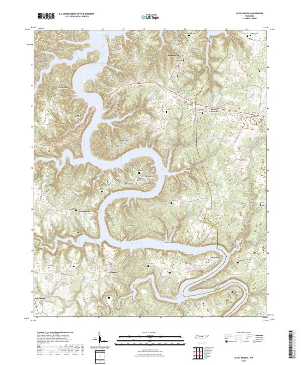
Loading map...2022 Map of Sligo Bridge
USGS Topo · Published 2022About this map
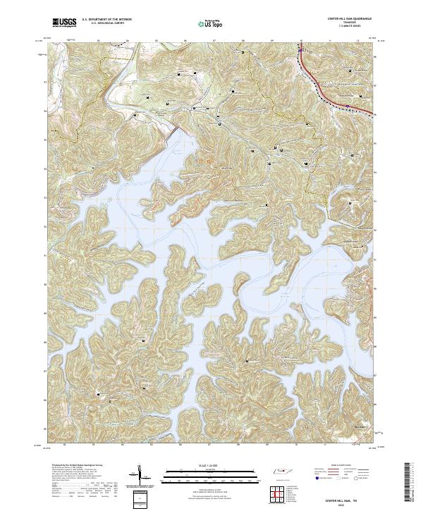
Center Hill Lake dominates this portion of the Caney Fork river system, where the reservoir's fingers reach deep into hollows like Ragland Hollow and Copper Cave Hollow. The map reveals a landscape defined by its riparian geometry, with named bends such as Young Bend, Adcock Bend, and Allen Bend marking the winding course of the river before and after the impoundment.
Find a feature on this map
162 named features on this map. Tap any name to fly to it.
Don’t see what you’re looking for? This feature index may not catch every label — zoom into the map to look around manually.
Map Details
Date Portrayed2022
Date Published2022
PublisherU.S. Geological Survey
Map TypeTopographic
Scale1:24000
Physical Dimensions24 x 29 inches
Editions of this 2022 Sligo Bridge Map
This is the sole edition of this map. No revisions or reprints were ever made.
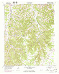
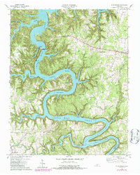
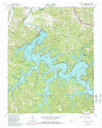
Historical Maps of Peeled Chestnut Through Time
6 maps found
Featured Locations
Source Details
SourceU.S. Geological Survey
CopyrightPublic Domain