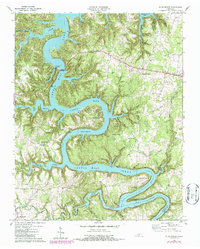
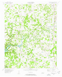
1960 Map of Sligo Bridge
USGS Topo · Published 1987About this map
Center Hill Lake dominates this mid-century survey of the Tennessee highlands, where the Caney Fork carves a deep path through De Kalb and White counties. The landscape is defined by the reservoir's complex shoreline, which wraps around prominent features like Young Bend and Adcock Bend. Local history is preserved in the names of numerous small family cemeteries and rural congregations, including Johnsons Chapel and Taylor Providence Ch.
Find a feature on this map
54 named features on this map. Tap any name to fly to it.
Don’t see what you’re looking for? This feature index may not catch every label — zoom into the map to look around manually.
Map Details
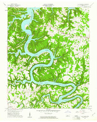
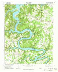
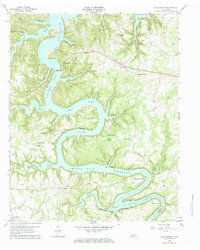
Editions of this 1960 Sligo Bridge Map
4 editions found
Other maps of this area

1893 · Mc Minnville
USGS Topo · 1:125,000

1895 · Mc Minnville
USGS Topo · 1:125,000

1928 · Gordonsville
USGS Topo · 1:62,500

1942 · Statesville
USGS Topo · 1:100,000

1943 · Cookeville
USGS Topo · 1:100,000

1944 · Cookeville
USGS Topo · 1:100,000

1953 · Chattanooga
USGS Topo · 1:250,000
1956 · Burgess Falls
USGS Topo · 1:24,000

1956 · Silver Point
USGS Topo · 1:24,000

1956 · Corbin
USGS Topo · 1:250,000