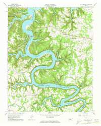
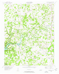
1960 Map of Sligo Bridge
USGS Topo · Published 1972About this map
The Center Hill Reservoir dominates this 1960 landscape, where the rising waters of the Caney Fork transformed the deep valleys of DeKalb and White Counties into a complex network of flooded hollows and peninsulas. The survey illustrates the intersection of mid-century infrastructure and traditional rural life, capturing several family-named landmarks and cemeteries situated on the high ground above the inundation line. The prominent Sligo Bridge serves as a critical crossing point near Sligo Dock, while the interior terrain features numerous small settlements like Peeled Chestnut and Jefferson. Cultural sites are well-preserved in this record, including Johnsons Chapel, Shiloh Ch, and the intriguing Indian Mound overlooking a bend in the river. This era represents a significant shift for the region, as recreational and hydroelectric development by agencies like the Geological Survey and USCE redefined the local economy around the reservoir's shoreline.
Find a feature on this map
57 named features on this map. Tap any name to fly to it.
Don’t see what you’re looking for? This feature index may not catch every label — zoom into the map to look around manually.
Map Details
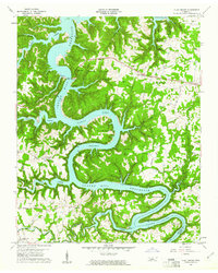
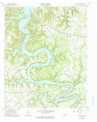
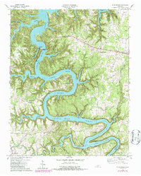
Editions of this 1960 Sligo Bridge Map
4 editions found
Other maps of this area

1893 · Mc Minnville
USGS Topo · 1:125,000

1895 · Mc Minnville
USGS Topo · 1:125,000

1928 · Gordonsville
USGS Topo · 1:62,500

1942 · Statesville
USGS Topo · 1:100,000

1943 · Cookeville
USGS Topo · 1:100,000

1944 · Cookeville
USGS Topo · 1:100,000

1953 · Chattanooga
USGS Topo · 1:250,000
1956 · Burgess Falls
USGS Topo · 1:24,000

1956 · Silver Point
USGS Topo · 1:24,000

1956 · Corbin
USGS Topo · 1:250,000