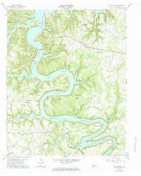
1960 Map of Sligo Bridge
USGS Topo · Published 1984About this map
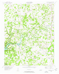
Center Hill Reservoir dominates this landscape, its waters filling the deeply carved valleys of the Caney Fork and its tributaries just a few years after the damming of the river. The high peninsulas and winding shorelines created by the rising water levels surround notable landmarks such as Indian Mound and the steep elevation at Stillhouse Point. This period of transition is reflected in the transportation network, where the prominent Sligo Bridge spans the reservoir, and leisure-oriented sites like Sligo Dock and Pates Ford Dock appear alongside long-standing rural community centers. Small settlements and upland farms are scattered throughout the DeKalb and White County borderlands, evidenced by numerous family cemeteries like Hutchings Cem and Billings Cem, and local social anchors such as Johnsons Chapel and Taylor Providence Ch. The map captures the interaction between new hydrological management and the traditional settlement patterns of Middle Tennessee.
Find a feature on this map
59 named features on this map. Tap any name to fly to it.
Don’t see what you’re looking for? This feature index may not catch every label — zoom into the map to look around manually.
Map Details
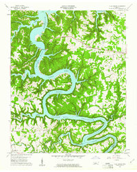
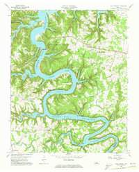
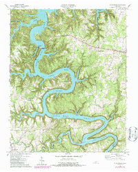
Editions of this 1960 Sligo Bridge Map
4 editions found
Other maps of this area

1893 · Mc Minnville
USGS Topo · 1:125,000

1895 · Mc Minnville
USGS Topo · 1:125,000

1928 · Gordonsville
USGS Topo · 1:62,500

1942 · Statesville
USGS Topo · 1:100,000

1943 · Cookeville
USGS Topo · 1:100,000

1944 · Cookeville
USGS Topo · 1:100,000

1953 · Chattanooga
USGS Topo · 1:250,000
1956 · Burgess Falls
USGS Topo · 1:24,000

1956 · Silver Point
USGS Topo · 1:24,000

1956 · Corbin
USGS Topo · 1:250,000