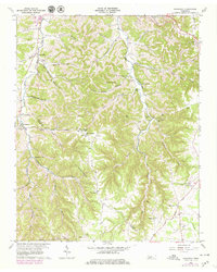
1960 Map of Gassaway
USGS Topo · Published 1979About this map
The boundary between De Kalb and Cannon Counties runs through this Tennessee landscape, defined by the prominent heights of Pea Ridge and Mt Ararat. The settlement of Gassaway sits in the west, anchored by the Gassaway School and Beech Hill Cemetery, while the smaller community of Bluhmtown occupies the eastern edge. This terrain is deeply etched by a network of branches and hollows, including Pistole Hollow and Sweetwater Hollow, which feed into Clear Fork Creek.
Find a feature on this map
58 named features on this map. Tap any name to fly to it.
Don’t see what you’re looking for? This feature index may not catch every label — zoom into the map to look around manually.
Map Details
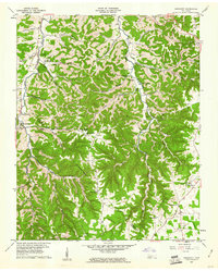
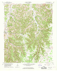
Editions of this 1960 Gassaway Map
3 editions found
Other maps of this area

1893 · Mc Minnville
USGS Topo · 1:125,000

1895 · Mc Minnville
USGS Topo · 1:125,000

1908 · Woodbury
USGS Topo · 1:62,500

1928 · Gordonsville
USGS Topo · 1:62,500

1942 · Statesville
USGS Topo · 1:100,000

1953 · Chattanooga
USGS Topo · 1:250,000

1956 · Columbia
USGS Topo · 1:250,000

1956 · Corbin
USGS Topo · 1:250,000

1956 · Nashville
USGS Topo · 1:250,000

1957 · Chattanooga
USGS Topo · 1:250,000