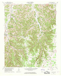
1960 Map of Gassaway
USGS Topo · Published 1970About this map
Pea Ridge and Three Forks Ridge dominate this section of the Central Basin, where the border between De Kalb and Cannon counties follows the high ground. The settlement of Gassaway sits at the base of these heights, supported by its namesake Gassaway Sch and the Beech Hill Cem. The landscape is defined by its karst topography, featuring numerous subterranean landmarks such as Cripps Mill Cave, Indian Grave Point Cave, and Overall Cave.
Find a feature on this map
56 named features on this map. Tap any name to fly to it.
Don’t see what you’re looking for? This feature index may not catch every label — zoom into the map to look around manually.
Map Details
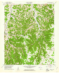
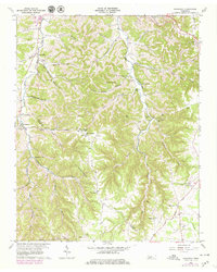
Editions of this 1960 Gassaway Map
3 editions found
Other maps of this area

1893 · Mc Minnville
USGS Topo · 1:125,000

1895 · Mc Minnville
USGS Topo · 1:125,000

1908 · Woodbury
USGS Topo · 1:62,500

1928 · Gordonsville
USGS Topo · 1:62,500

1942 · Statesville
USGS Topo · 1:100,000

1953 · Chattanooga
USGS Topo · 1:250,000

1956 · Columbia
USGS Topo · 1:250,000

1956 · Corbin
USGS Topo · 1:250,000

1956 · Nashville
USGS Topo · 1:250,000

1957 · Chattanooga
USGS Topo · 1:250,000