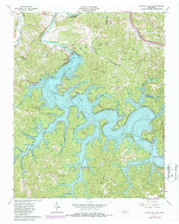
1962 Map of Center Hill Dam
USGS Topo · Published 1986About this map
The Center Hill Dam and its expansive impoundment dominate this mid-century survey of DeKalb County, where the Caney Fork was transformed into a massive reservoir system. This map captures the landscape as it functioned for mid-20th-century recreation and utility, featuring the power plant and substation alongside established leisure sites like Edgar Evins State Rustic Park and Floating Mill Park.
Find a feature on this map
74 named features on this map. Tap any name to fly to it.
Don’t see what you’re looking for? This feature index may not catch every label — zoom into the map to look around manually.
Map Details
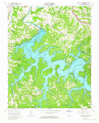
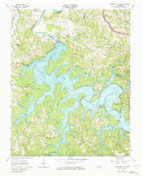
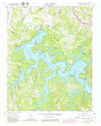
Editions of this 1962 Center Hill Dam Map
4 editions found
Other maps of this area

1893 · Mc Minnville
USGS Topo · 1:125,000

1895 · Mc Minnville
USGS Topo · 1:125,000

1928 · Gordonsville
USGS Topo · 1:62,500

1942 · Statesville
USGS Topo · 1:100,000

1943 · Cookeville
USGS Topo · 1:100,000

1944 · Cookeville
USGS Topo · 1:100,000

1953 · Chattanooga
USGS Topo · 1:250,000

1955 · Baxter
USGS Topo · 1:24,000

1956 · Silver Point
USGS Topo · 1:24,000

1956 · Corbin
USGS Topo · 1:250,000