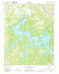
1962 Map of Center Hill Dam
USGS Topo · Published 1980About this map
Center Hill Lake dominates this landscape, created by the massive Center Hill Dam along the Caney Fork. The map documents a transition from traditional rural upland settlements to a recreational economy, evidenced by the establishment of Edgar Evans State Rustic Park and the Atnip Bluff Cabin Colony. Genealogists will find numerous family burial grounds preserved among the hollows, including the Braswell Cem, Taylor Cem, and Lafever Cem. Transportation and community life are marked by the Louisville and Nashville RR cutting through the northeast corner and local landmarks like the Laurel Hill Sch and Tucker Ridge Ch. The irregular shoreline created by the reservoir's inundation of drainages like Wolf Creek and Holmes Creek illustrates the significant topographic change that redefined this portion of DeKalb County during the mid-20th century.
Find a feature on this map
76 named features on this map. Tap any name to fly to it.
Don’t see what you’re looking for? This feature index may not catch every label — zoom into the map to look around manually.
Map Details
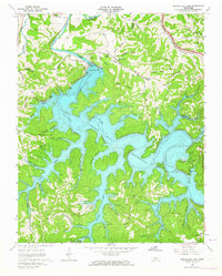
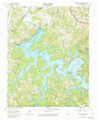
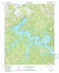
Editions of this 1962 Center Hill Dam Map
4 editions found
Other maps of this area

1893 · Mc Minnville
USGS Topo · 1:125,000

1895 · Mc Minnville
USGS Topo · 1:125,000

1928 · Gordonsville
USGS Topo · 1:62,500

1942 · Statesville
USGS Topo · 1:100,000

1943 · Cookeville
USGS Topo · 1:100,000

1944 · Cookeville
USGS Topo · 1:100,000

1953 · Chattanooga
USGS Topo · 1:250,000

1955 · Baxter
USGS Topo · 1:24,000

1956 · Silver Point
USGS Topo · 1:24,000

1956 · Corbin
USGS Topo · 1:250,000