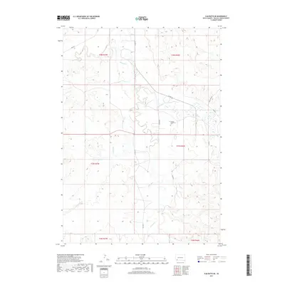
2017 Map of Slim Butte NE
USGS Topo · Published 2017About this map
White River drainage patterns define this portion of Oglala Lakota County, where the landscape is carved by several distinct watercourses including White Clay Cr and Slim Butte Cr. This high-plains terrain is characterized by intricate elevation contours and a network of Bureau of Indian Affairs routes, such as BIA Hwy 41 and BIA Rd 52, which provide the primary infrastructure for the region. The Makasan Presbyterian Cem serves as a significant local landmark and genealogical site, situated near the junction of Garnier Rd. This survey documents the contemporary rural layout of the area, showing the relationship between family-named roads like Sauser Rd and the natural draws of the northern plains.
Find a feature on this map
18 named features on this map. Tap any name to fly to it.
Don’t see what you’re looking for? This feature index may not catch every label — zoom into the map to look around manually.
Map Details
Editions of this 2017 Slim Butte NE Map
This is the sole edition of this map. No revisions or reprints were ever made.
Other maps of this area

1951 · Rockyford SW
USGS Topo · 1:24,000

1955 · Hot Springs
USGS Topo · 1:250,000

1967 · Pine Ridge SW
USGS Topo · 1:24,000

1967 · Slim Butte SW
USGS Topo · 1:24,000

1967 · Slim Butte NW
USGS Topo · 1:24,000

1967 · Oglala
USGS Topo · 1:24,000

1967 · Slim Butte NE
USGS Topo · 1:24,000

1967 · Slim Butte
USGS Topo · 1:24,000

1967 · Willow Creek SW
USGS Topo · 1:24,000

1967 · Willow Creek
USGS Topo · 1:24,000