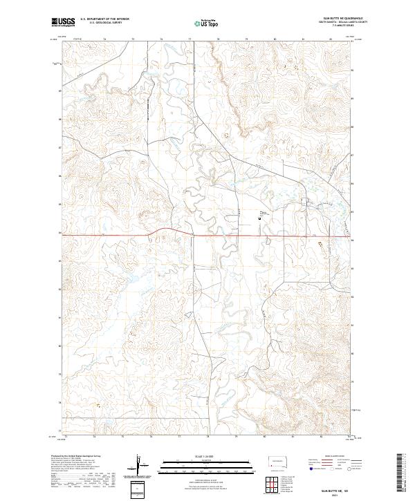
2021 Map of Slim Butte NE
USGS Topo · Published 2021About this map
The White River winds across this Oglala Lakota landscape, carving a complex network of drainages including Blacktail Cr, Bluetail Cr, and Slim Butte Cr. The terrain is defined by the high tablelands and eroded breaks of the Pine Ridge region, where the Makasan Presbyterian Cem stands as a focal point of local history near the junction of Garnier Rd and Bia Hwy 41.
Find a feature on this map
22 named features on this map. Tap any name to fly to it.
Don’t see what you’re looking for? This feature index may not catch every label — zoom into the map to look around manually.
Map Details
Editions of this 2021 Slim Butte NE Map
This is the sole edition of this map. No revisions or reprints were ever made.
Other maps of this area

1951 · Rockyford SW
USGS Topo · 1:24,000

1955 · Hot Springs
USGS Topo · 1:250,000

1967 · Pine Ridge SW
USGS Topo · 1:24,000

1967 · Slim Butte SW
USGS Topo · 1:24,000

1967 · Slim Butte NW
USGS Topo · 1:24,000

1967 · Oglala
USGS Topo · 1:24,000

1967 · Slim Butte NE
USGS Topo · 1:24,000

1967 · Slim Butte
USGS Topo · 1:24,000

1967 · Willow Creek SW
USGS Topo · 1:24,000

1967 · Willow Creek
USGS Topo · 1:24,000