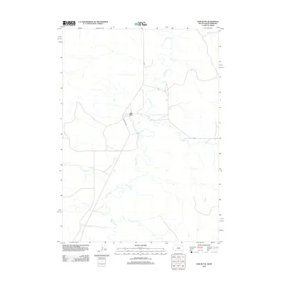
2012 Map of Slim Butte
USGS Topo · Published 2012About this map
Slim Butte and its surrounding landscape on the Pine Ridge Reservation are defined by the meandering path of the White River. This 2012 survey illustrates the intersection of local water systems and tribal infrastructure, where the river loops significantly through the terrain, joined by tributaries such as Janis Cr and Alkali Cr. The small community of Slim Butte serves as a central point for local travel, connected by a network of Bureau of Indian Affairs routes including Bia 41 and Bia 32. The dominance of Slim Buttes Rd suggests a landscape where movement follows the natural contours of the river valley and the namesake topographical feature. Researchers of Oglala Lakota County will find a detailed view of the rural road network and hydrological patterns during this early 21st-century period.
Find a feature on this map
8 named features on this map. Tap any name to fly to it.
Don’t see what you’re looking for? This feature index may not catch every label — zoom into the map to look around manually.
Map Details
Editions of this 2012 Slim Butte Map
This is the sole edition of this map. No revisions or reprints were ever made.
Other maps of this area

1955 · Hot Springs
USGS Topo · 1:250,000

1955 · Alliance
USGS Topo · 1:250,000

1957 · Alliance
USGS Topo · 1:250,000

1958 · Alliance
USGS Topo · 1:250,000

1967 · Pine Ridge SW
USGS Topo · 1:24,000

1967 · Slim Butte SW
USGS Topo · 1:24,000

1967 · Slim Butte NW
USGS Topo · 1:24,000

1967 · Oglala
USGS Topo · 1:24,000

1967 · Slim Butte NE
USGS Topo · 1:24,000

1967 · Slim Butte
USGS Topo · 1:24,000