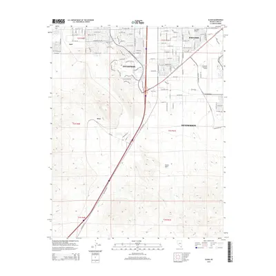
2015 Map of Sloan
USGS Topo · Published 2015About this map
The Mojave Desert meets the expanding southern edge of the Las Vegas Valley in this 2015 survey, revealing a landscape defined by rapid residential development and transportation corridors. Dense suburban street networks in Enterprise and Paradise terminate abruptly against the open desert terrain, showcasing the modern urban-wildland interface. Central to the area's infrastructure is the Henderson Executive Airport, which serves as a significant landmark for the city of Henderson.
Find a feature on this map
84 named features on this map. Tap any name to fly to it.
Don’t see what you’re looking for? This feature index may not catch every label — zoom into the map to look around manually.
Map Details
Editions of this 2015 Sloan Map
This is the sole edition of this map. No revisions or reprints were ever made.
Other maps of this area

1907 · Las Vegas
USGS Topo · 1:250,000

1908 · Las Vegas
USGS Topo · 1:250,000

1910 · Ivanpah
USGS Topo · 1:250,000

1912 · Ivanpah
USGS Topo · 1:250,000

1942 · Ivanpah
USGS Topo · 1:250,000

1947 · Kingman
USGS Topo · 1:250,000

1948 · Kingman
USGS Topo · 1:250,000

1952 · Blue Diamond
USGS Topo · 1:62,500

1952 · Las Vegas
USGS Topo · 1:62,500

1954 · Las Vegas
USGS Topo · 1:250,000