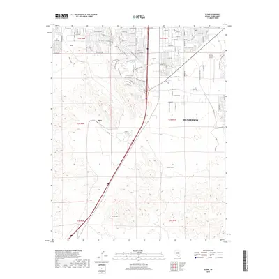
2018 Map of Sloan
USGS Topo · Published 2018About this map
Henderson and the southernmost reaches of the Las Vegas Valley are shown here as urban expansion meets the arid terrain of the Mojave Desert. The map documents a complex transition from high-density residential development in the north to industrial and quarrying operations further south. Heavy machinery and earth-moving activities are evident at Alden Quarries, situated near the small settlement of Sloan. This 2018 survey illustrates how major transportation corridors and the Henderson Executive Airport anchor the local economy, while prominent geographic markers like Center Mtn define the horizon. The street grid, featuring names such as W Cactus Ave and S Rainbow Blvd, pushes right to the edge of the desert, where development gives way to open land managed under various Public Land Survey System townships including t23s r60e.
Find a feature on this map
98 named features on this map. Tap any name to fly to it.
Don’t see what you’re looking for? This feature index may not catch every label — zoom into the map to look around manually.
Map Details
Editions of this 2018 Sloan Map
This is the sole edition of this map. No revisions or reprints were ever made.
Other maps of this area

1907 · Las Vegas
USGS Topo · 1:250,000

1908 · Las Vegas
USGS Topo · 1:250,000

1910 · Ivanpah
USGS Topo · 1:250,000

1912 · Ivanpah
USGS Topo · 1:250,000

1942 · Ivanpah
USGS Topo · 1:250,000

1947 · Kingman
USGS Topo · 1:250,000

1948 · Kingman
USGS Topo · 1:250,000

1952 · Blue Diamond
USGS Topo · 1:62,500

1952 · Las Vegas
USGS Topo · 1:62,500

1954 · Las Vegas
USGS Topo · 1:250,000