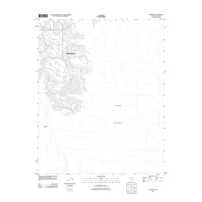
2012 Map of Sloan NE
USGS Topo · Published 2012About this map
Henderson serves as the focal point for this survey of the expanding desert suburbs south of the Las Vegas strip. The map documents a period of rapid residential development where modern master-planned neighborhoods meet the untamed high desert. While the western half of the sheet is a dense network of suburban streets like Anthem Pkwy and Seven Hills Dr, the eastern half remains dominated by the rising elevations of the McCullough Range. This sharp division illustrates the geographical limit of the Las Vegas Valley at the base of Black Mountain. Streets such as Sun City Anthem Dr and Democracy Dr push right against the contour lines, showing exactly how the residential footprint was encroaching upon the Nevada wilderness at the start of the 2010s.
Find a feature on this map
29 named features on this map. Tap any name to fly to it.
Don’t see what you’re looking for? This feature index may not catch every label — zoom into the map to look around manually.
Map Details
Editions of this 2012 Sloan NE Map
This is the sole edition of this map. No revisions or reprints were ever made.
Other maps of this area

1886 · Camp Mohave
USGS Topo · 1:250,000

1886 · Saint Thomas
USGS Topo · 1:250,000

1892 · Camp Mohave
USGS Topo · 1:250,000

1893 · Saint Thomas
USGS Topo · 1:250,000

1907 · Las Vegas
USGS Topo · 1:250,000

1908 · Las Vegas
USGS Topo · 1:250,000

1910 · Ivanpah
USGS Topo · 1:250,000

1912 · Ivanpah
USGS Topo · 1:250,000

1926 · Nelson
USGS Topo · 1:96,000

1926 · Boulder Canyon
USGS Topo · 1:96,000