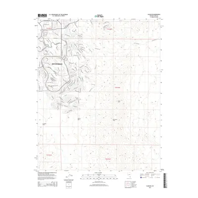
2015 Map of Sloan NE
USGS Topo · Published 2015About this map
Henderson serves as the focal point for this 2015 study, illustrating the rapid suburban expansion into the high desert landscape of the Las Vegas Valley. The map shows a meticulously planned network of residential developments, particularly south of W Horizon Ridge Pky, where neighborhoods like those along Anthem Pky and Sunridge Heights Pky push directly against the natural boundaries of the McCullough Hills.
Find a feature on this map
130 named features on this map. Tap any name to fly to it.
Don’t see what you’re looking for? This feature index may not catch every label — zoom into the map to look around manually.
Map Details
Editions of this 2015 Sloan NE Map
This is the sole edition of this map. No revisions or reprints were ever made.
Other maps of this area

1886 · Camp Mohave
USGS Topo · 1:250,000

1886 · Saint Thomas
USGS Topo · 1:250,000

1892 · Camp Mohave
USGS Topo · 1:250,000

1893 · Saint Thomas
USGS Topo · 1:250,000

1907 · Las Vegas
USGS Topo · 1:250,000

1908 · Las Vegas
USGS Topo · 1:250,000

1910 · Ivanpah
USGS Topo · 1:250,000

1912 · Ivanpah
USGS Topo · 1:250,000

1926 · Nelson
USGS Topo · 1:96,000

1926 · Boulder Canyon
USGS Topo · 1:96,000