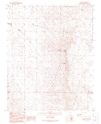
1989 Map of Sloan NE
USGS Topo · Published 1990About this map
The McCullough Range dominates this landscape south of the Las Vegas Valley, anchored by the prominent peak of Black Mountain. This 1989 provisional survey captures the area during a period of transition as the Henderson Corporate Boundary expanded into the desert terrain. Infrastructure for a growing metropolitan region is evident, with multiple Trans Lines crossing the basin and several communication sites, including Radio Facility Towers and a standalone Radio Tower, occupying the higher elevations.
Find a feature on this map
10 named features on this map. Tap any name to fly to it.
Don’t see what you’re looking for? This feature index may not catch every label — zoom into the map to look around manually.
Map Details
Editions of this 1989 Sloan NE Map
This is the sole edition of this map. No revisions or reprints were ever made.
Other maps of this area

1886 · Camp Mohave
USGS Topo · 1:250,000

1886 · Saint Thomas
USGS Topo · 1:250,000

1892 · Camp Mohave
USGS Topo · 1:250,000

1893 · Saint Thomas
USGS Topo · 1:250,000

1907 · Las Vegas
USGS Topo · 1:250,000

1908 · Las Vegas
USGS Topo · 1:250,000

1910 · Ivanpah
USGS Topo · 1:250,000

1912 · Ivanpah
USGS Topo · 1:250,000

1926 · Nelson
USGS Topo · 1:96,000

1926 · Boulder Canyon
USGS Topo · 1:96,000