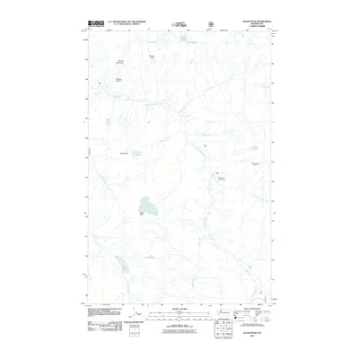
2011 Map of Sloan Peak
USGS Topo · Published 2011About this map
Sloan Peak anchors this high-elevation landscape in the Cascades, where a complex network of glacial meltwater feeds the North Fork Sauk River. The drainage patterns are well-defined by prominent ridges like Spring Mountain and Bedal Peak, with several high-alpine basins holding bodies of water such as Goat Lake, Sunup Lake, and Ruby Lake. This 2011 survey reflects the area's role as a recreation and conservation corridor, specifically highlighting the Sloan Creek Campground and the Red Mountain Lookout. The map provides detailed placement of geological features like Bingley Gap and Penders Canyon, as well as numerous creek systems including Cadet Creek and Elliott Creek, which define the hydrological character of this part of Snohomish County.
Find a feature on this map
27 named features on this map. Tap any name to fly to it.
Don’t see what you’re looking for? This feature index may not catch every label — zoom into the map to look around manually.
Map Details
Editions of this 2011 Sloan Peak Map
This is the sole edition of this map. No revisions or reprints were ever made.
Other maps of this area

1899 · Glacier Peak
USGS Topo · 1:125,000

1901 · Glacier Peak
USGS Topo · 1:125,000

1902 · Skykomish
USGS Topo · 1:125,000

1905 · Skykomish
USGS Topo · 1:125,000

1950 · Glacier Peak
USGS Topo · 1:62,500

1955 · Concrete
USGS Topo · 1:250,000

1957 · Wenatchee
USGS Topo · 1:250,000

1958 · Concrete
USGS Topo · 1:250,000

1962 · Concrete
USGS Topo · 1:250,000

1965 · Monte Cristo
USGS Topo · 1:24,000