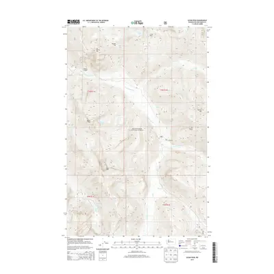
2014 Map of Sloan Peak
USGS Topo · Published 2014About this map
Sloan Peak and the surrounding high-elevation terrain of the Mount Baker National Forest dominate this Snohomish County survey. The landscape is defined by the drainage of the N Fork Sauk River, which is fed by several alpine tributaries including Pugh Creek and Bedal Creek. The presence of Red Mountain Lookout indicates the historical importance of fire watch stations in these mountain ranges, while the Sloan Creek Campground provides a central reference point for wilderness access during the early 21st century.
Find a feature on this map
36 named features on this map. Tap any name to fly to it.
Don’t see what you’re looking for? This feature index may not catch every label — zoom into the map to look around manually.
Map Details
Editions of this 2014 Sloan Peak Map
This is the sole edition of this map. No revisions or reprints were ever made.
Other maps of this area

1899 · Glacier Peak
USGS Topo · 1:125,000

1901 · Glacier Peak
USGS Topo · 1:125,000

1902 · Skykomish
USGS Topo · 1:125,000

1905 · Skykomish
USGS Topo · 1:125,000

1950 · Glacier Peak
USGS Topo · 1:62,500

1955 · Concrete
USGS Topo · 1:250,000

1957 · Wenatchee
USGS Topo · 1:250,000

1958 · Concrete
USGS Topo · 1:250,000

1962 · Concrete
USGS Topo · 1:250,000

1965 · Monte Cristo
USGS Topo · 1:24,000