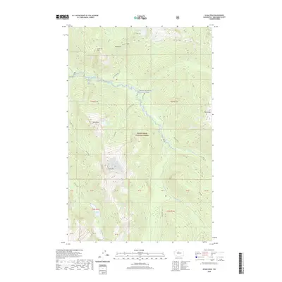
2020 Map of Sloan Peak
USGS Topo · Published 2020About this map
Sloan Peak rises prominently within the Mount Baker National Forest, serving as the focal point for this wilderness survey of Snohomish County. The landscape is defined by its dramatic relief, where deep valleys carved by the N Fork Sauk River and Elliot Creek separate high ridges like Lost Creek Ridge and Pilot Ridge. High-altitude alpine features are a hallmark of this terrain, including Goat Lake, Cadet Lake, and Sunup Lake, many of which feed the intricate network of drainages such as Merry Brook and Bedal Creek. The map also captures the protected waters of the Skagit Wild and Scenic River, highlighting the conservation status of these headwaters. This document is essential for those studying the topography of the North Cascades, documenting specific peaks like Bedal Peak and Ira Spring Mtn alongside the natural passes of Bingley Gap.
Find a feature on this map
47 named features on this map. Tap any name to fly to it.
Don’t see what you’re looking for? This feature index may not catch every label — zoom into the map to look around manually.
Map Details
Editions of this 2020 Sloan Peak Map
This is the sole edition of this map. No revisions or reprints were ever made.
Other maps of this area

1899 · Glacier Peak
USGS Topo · 1:125,000

1901 · Glacier Peak
USGS Topo · 1:125,000

1902 · Skykomish
USGS Topo · 1:125,000

1905 · Skykomish
USGS Topo · 1:125,000

1950 · Glacier Peak
USGS Topo · 1:62,500

1955 · Concrete
USGS Topo · 1:250,000

1957 · Wenatchee
USGS Topo · 1:250,000

1958 · Concrete
USGS Topo · 1:250,000

1962 · Concrete
USGS Topo · 1:250,000

1965 · Monte Cristo
USGS Topo · 1:24,000