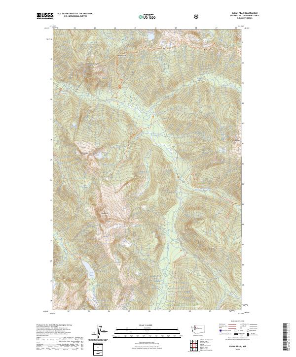
2023 Map of Sloan Peak
USGS Topo · Published 2023About this map
Sloan Peak and Bedal Peak anchor this high-elevation wilderness landscape within the Mount Baker National Forest. The area is defined by the convergence of the Henry M Jackson Wilderness and the Glacier Peak Wilderness, divided by the valley of the North Fork Sauk River. This modern survey details a complex network of glacial lakes including Goat Lake, Cadet Lake, and Sunup Lake, as well as the drainage of Elliott Creek and Sloan Creek. The map documents established backcountry access routes such as the Sloan Peak Trl and Lost Creek Ridge Trl, reflecting the area's protected status as part of the Skagit Wild And Scenic River system. The terrain transitions from deep canyons like Penders Canyon to high points such as Ira Spring Mtn and Painted Mtn.
Find a feature on this map
38 named features on this map. Tap any name to fly to it.
Don’t see what you’re looking for? This feature index may not catch every label — zoom into the map to look around manually.
Map Details
Editions of this 2023 Sloan Peak Map
This is the sole edition of this map. No revisions or reprints were ever made.
Other maps of this area

1899 · Glacier Peak
USGS Topo · 1:125,000

1901 · Glacier Peak
USGS Topo · 1:125,000

1902 · Skykomish
USGS Topo · 1:125,000

1905 · Skykomish
USGS Topo · 1:125,000

1950 · Glacier Peak
USGS Topo · 1:62,500

1955 · Concrete
USGS Topo · 1:250,000

1957 · Wenatchee
USGS Topo · 1:250,000

1958 · Concrete
USGS Topo · 1:250,000

1962 · Concrete
USGS Topo · 1:250,000

1965 · Monte Cristo
USGS Topo · 1:24,000