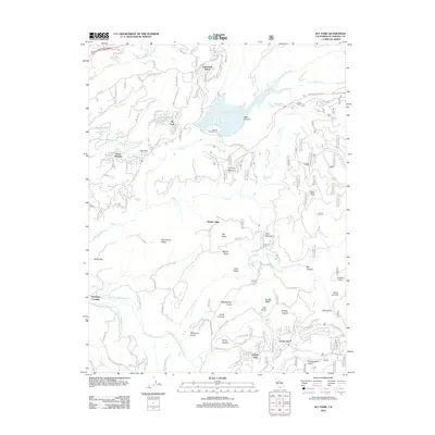
2012 Map of Sly Park
USGS Topo · Published 2012About this map
Jenkinson Lake anchors this part of El Dorado County, serving as a central water feature surrounded by residential clusters and recreational sites. The community of Sly Park sits just west of the reservoir, while Lakewood Sierra and Sierra Springs occupy the northern and western slopes. This 2012 survey illustrates the transition from high-elevation timber and mining history to modern mountain living, characterized by an extensive network of named roads and trails like Starkes Grade Rd and Ski Run.
Find a feature on this map
128 named features on this map. Tap any name to fly to it.
Don’t see what you’re looking for? This feature index may not catch every label — zoom into the map to look around manually.
Map Details
Editions of this 2012 Sly Park Map
This is the sole edition of this map. No revisions or reprints were ever made.
Other maps of this area

1889 · Pyramid Peak
USGS Topo · 1:125,000

1891 · Placerville
USGS Topo · 1:125,000
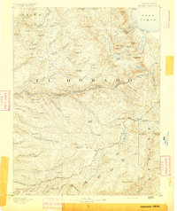
1891 · Pyramid Peak
USGS Topo · 1:125,000

1892 · Placerville
USGS Topo · 1:125,000

1893 · Placerville
USGS Topo · 1:125,000
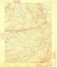
1895 · Pyramid Peak
USGS Topo · 1:125,000
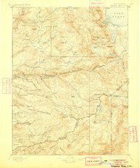
1896 · Pyramid Peak
USGS Topo · 1:125,000
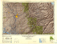
1947 · Sacramento
USGS Topo · 1:250,000
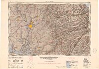
1948 · Sacramento
USGS Topo · 1:250,000
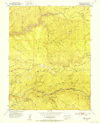
1950 · Riverton
USGS Topo · 1:24,000