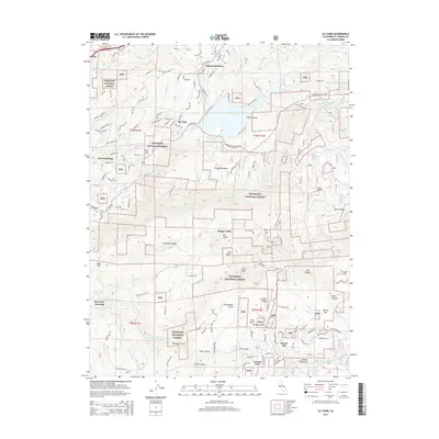
2015 Map of Sly Park
USGS Topo · Published 2015About this map
Jenkinson Lake serves as a central hydrological landmark within this portion of the Eldorado National Forest, where the waters of Sly Park Creek and Hazel Creek converge. The landscape is defined by the transition from established residential enclaves like Lakewood Sierra and Sierra Springs in the northwest to the more isolated settlements of Grizzly Flat and Happy Valley in the south. This area preserves a legacy of historic transportation corridors, including the legendary Pony Express Trail and the Mormon Emigrant Trail. The terrain is deeply incised by drainages such as Woodpecker Gulch and Shingle Mill Gulch, reflecting a history of timber and resource extraction. High points like Baltic Peak and Grizzly Peak overlook the winding North Fork Cosumnes River, illustrating the complex topography that shaped early El Dorado County development.
Find a feature on this map
105 named features on this map. Tap any name to fly to it.
Don’t see what you’re looking for? This feature index may not catch every label — zoom into the map to look around manually.
Map Details
Editions of this 2015 Sly Park Map
This is the sole edition of this map. No revisions or reprints were ever made.
Other maps of this area

1889 · Pyramid Peak
USGS Topo · 1:125,000

1891 · Placerville
USGS Topo · 1:125,000

1891 · Pyramid Peak
USGS Topo · 1:125,000

1892 · Placerville
USGS Topo · 1:125,000

1893 · Placerville
USGS Topo · 1:125,000

1895 · Pyramid Peak
USGS Topo · 1:125,000

1896 · Pyramid Peak
USGS Topo · 1:125,000

1947 · Sacramento
USGS Topo · 1:250,000

1948 · Sacramento
USGS Topo · 1:250,000

1950 · Riverton
USGS Topo · 1:24,000