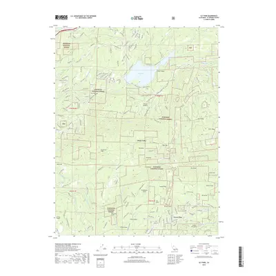
2018 Map of Sly Park
USGS Topo · Published 2018About this map
Grizzly Flats serves as a primary point of interest in this El Dorado County landscape, situated within the Eldorado National Forest. The geography is defined by a complex network of waterways, including the N Fork Cosumnes River, the Steely Fork Cosumnes River, and Sly Park Cr, which feeds into the prominent Jenkinson Lake. This reservoir is surrounded by distinctive terrain features such as Bumpy Meadows and Fleming Meadow, reflecting the recreational and water-management character of the region.
Find a feature on this map
166 named features on this map. Tap any name to fly to it.
Don’t see what you’re looking for? This feature index may not catch every label — zoom into the map to look around manually.
Map Details
Editions of this 2018 Sly Park Map
This is the sole edition of this map. No revisions or reprints were ever made.
Other maps of this area

1889 · Pyramid Peak
USGS Topo · 1:125,000

1891 · Placerville
USGS Topo · 1:125,000

1891 · Pyramid Peak
USGS Topo · 1:125,000

1892 · Placerville
USGS Topo · 1:125,000

1893 · Placerville
USGS Topo · 1:125,000

1895 · Pyramid Peak
USGS Topo · 1:125,000

1896 · Pyramid Peak
USGS Topo · 1:125,000

1947 · Sacramento
USGS Topo · 1:250,000

1948 · Sacramento
USGS Topo · 1:250,000

1950 · Riverton
USGS Topo · 1:24,000