
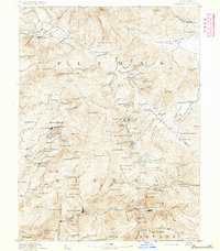
1892 Map of Smartsville
USGS Topo · Published 1892About this map
Nevada Co. Narrow Gauge R.R. connects the industrial hubs of Grass Valley and Nevada City during this peak era of California hard-rock mining. The map documents a landscape defined by gold extraction, showing famous operations like the Empire Mine, Idaho Mine, and North Star Mine. Beyond the shafts, the processing economy is visible through the Sulphuret Works and the Washington Mill, indicating the complex chemical and mechanical infrastructure required to extract value from the Sierra foothills.
Find a feature on this map
169 named features on this map. Tap any name to fly to it.
Don’t see what you’re looking for? This feature index may not catch every label — zoom into the map to look around manually.
Map Details
Editions of this 1892 Smartsville Map
This is the sole edition of this map. No revisions or reprints were ever made.
Other maps of this area

1888 · Marysville
USGS Topo · 1:125,000

1888 · Smartsville
USGS Topo · 1:125,000

1888 · Bidwell Bar
USGS Topo · 1:125,000

1891 · Bidwell Bar
USGS Topo · 1:125,000

1891 · Chico
USGS Topo · 1:125,000
1891 · Downieville
USGS Topo · 1:125,000

1891 · Sacramento
USGS Topo · 1:125,000

1891 · Colfax
USGS Topo · 1:125,000

1891 · Marysville
USGS Topo · 1:125,000

1891 · Smartsville
USGS Topo · 1:125,000