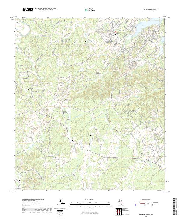
2022 Map of Smithson Valley
USGS Topo · Published 2022About this map
The Guadalupe River and the southern reaches of Canyon Lake anchor this topographic view of Comal County. The landscape is characterized by prominent ridges such as Rebecca Ridge and Homestead Ridge, which separate the various forks of Dry Comal Cr and Dry Bear Creek. For genealogists, the map is remarkably dense with family-named burial sites, including the Artzt Family Cem, Doehne Family Cem, and Rust Family Cem. The settlement at Startzville serves as a local hub near Startz Hill, while smaller sites like Bremer dot the rural road network. The presence of the Bear Creek Ranch Airport and newer residential developments near the lakefront illustrate the gradual modern expansion into this traditionally ranch-heavy corridor of the Texas Hill Country.
Find a feature on this map
231 named features on this map. Tap any name to fly to it.
Don’t see what you’re looking for? This feature index may not catch every label — zoom into the map to look around manually.
Map Details
Editions of this 2022 Smithson Valley Map
This is the sole edition of this map. No revisions or reprints were ever made.
Other maps of this area

1920 · Smithsons Valley
USGS Topo · 1:62,500

1925 · Hunter No 3
USGS Topo · 1:48,000

1925 · Smithson Valley No. 1
USGS Topo · 1:48,000

1927 · New Braunfels
USGS Topo · 1:62,500

1927 · Smithson Valley
USGS Topo · 1:62,500

1929 · Hunter
USGS Topo · 1:62,500

1929 · Smithson Valley
USGS Topo · 1:62,500

1940 · Smithson Valley
USGS Topo · 1:62,500

1953 · Bulverde
USGS Topo · 1:24,000

1953 · Bat Cave
USGS Topo · 1:24,000