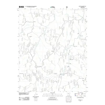
2011 Map of Smyrna
USGS Topo · Published 2011About this map
Smyrna and the high ridges of the Ozarks are defined by a network of steep hollows and winding mountain roads in this 2011 survey. The landscape is characterized by the Middle Fork Illinois Bayou and its numerous tributaries, including Falling Water Creek and Raspberry Creek. Local history is anchored by several small settlements like Ben Hur and Nogo, alongside family-named landmarks such as Dave Millsaps Hollow and Brogden Hollow.
Find a feature on this map
40 named features on this map. Tap any name to fly to it.
Don’t see what you’re looking for? This feature index may not catch every label — zoom into the map to look around manually.
Map Details
Editions of this 2011 Smyrna Map
This is the sole edition of this map. No revisions or reprints were ever made.
Other maps of this area

1879 · Washington
USGS Topo · 1:62,500

1887 · Smyrna
USGS Topo · 1:62,500

1889 · Treat
USGS Topo · 1:62,500

1889 · Marshall #3
USGS Topo · 1:62,500

1892 · Marshall
USGS Topo · 1:125,000

1894 · Marshall
USGS Topo · 1:125,000

1901 · Marshall
USGS Topo · 1:125,000

1932 · Treat
USGS Topo · 1:62,500

1933 · Mt Judea
USGS Topo · 1:62,500

1934 · Treat
USGS Topo · 1:62,500