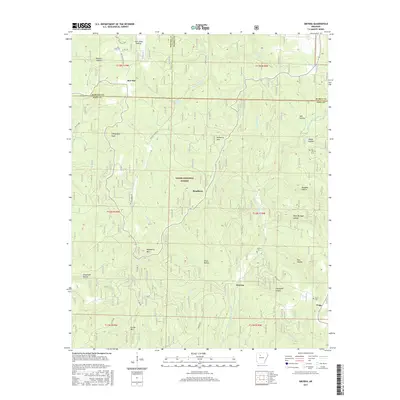
2017 Map of Smyrna
USGS Topo · Published 2017About this map
Ozark National Forest encompasses this section of the Boston Mountains where Newton, Pope, and Searcy counties meet. The landscape is defined by deep incisions from waterways like the Middle Fork Illinois Bayou and Falling Water Cr, which features the notable Falling Water Falls. Remote settlements and family landmarks are scattered throughout these drainages, including the small community of Ben Hur in the north and Nogo in the southeast. Genealogists will find significant value in the mapped locations of the Old Smyrna Cem, Smyrna Cem, and Nogo Cem. The presence of the Ozark Highlands Trail near Hideout Hollow and naming conventions such as Graveyard Hollow and Dave Millsaps Hollow suggest a long history of isolated mountain life and local family legacies within these wooded ridges.
Find a feature on this map
50 named features on this map. Tap any name to fly to it.
Don’t see what you’re looking for? This feature index may not catch every label — zoom into the map to look around manually.
Map Details
Editions of this 2017 Smyrna Map
This is the sole edition of this map. No revisions or reprints were ever made.
Other maps of this area

1879 · Washington
USGS Topo · 1:62,500

1887 · Smyrna
USGS Topo · 1:62,500

1889 · Treat
USGS Topo · 1:62,500

1889 · Marshall #3
USGS Topo · 1:62,500

1892 · Marshall
USGS Topo · 1:125,000

1894 · Marshall
USGS Topo · 1:125,000

1901 · Marshall
USGS Topo · 1:125,000

1932 · Treat
USGS Topo · 1:62,500

1933 · Mt Judea
USGS Topo · 1:62,500

1934 · Treat
USGS Topo · 1:62,500