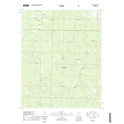
2020 Map of Smyrna
USGS Topo · Published 2020About this map
Ozark National Forest dominates this landscape in the northern reaches of Pope County, where the topography is defined by the deep incisions of the Middle Fork Illinois Bayou and its numerous tributaries. The rural settlements of Smyrna, Ben Hur, Raspberry, and Nogo are connected by winding mountain roads, reflecting a long-standing pattern of dispersed upland habitation. Local history is anchored by several burial grounds, including the Old Smyrna Cem, Smyrna Cem, and Nogo Cem, which serve as vital markers for genealogical research in this part of the Ozarks. Distinctive natural landmarks such as Falling Water Falls and the summits of Raspberry Mtn and Chinquapin Knob characterize the elevation shifts of the terrain. The Ozark Highlands Trail traverses the northern edge of the sheet, tracing the ridges above Hideout Hollow and Jack Jones Hollow.
Find a feature on this map
55 named features on this map. Tap any name to fly to it.
Don’t see what you’re looking for? This feature index may not catch every label — zoom into the map to look around manually.
Map Details
Editions of this 2020 Smyrna Map
This is the sole edition of this map. No revisions or reprints were ever made.
Other maps of this area

1879 · Washington
USGS Topo · 1:62,500

1887 · Smyrna
USGS Topo · 1:62,500

1889 · Treat
USGS Topo · 1:62,500

1889 · Marshall #3
USGS Topo · 1:62,500

1892 · Marshall
USGS Topo · 1:125,000

1894 · Marshall
USGS Topo · 1:125,000

1901 · Marshall
USGS Topo · 1:125,000

1932 · Treat
USGS Topo · 1:62,500

1933 · Mt Judea
USGS Topo · 1:62,500

1934 · Treat
USGS Topo · 1:62,500