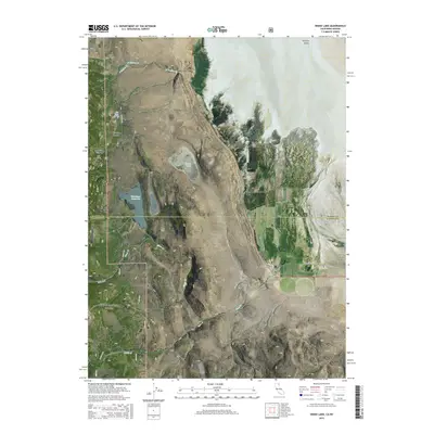
2015 Map of Snake Lake
USGS Topo · Published 2015About this map
Surprise Valley defines the eastern transition of this high-altitude landscape, where the arid basin meets the steep drainages of the Modoc National Forest. This 2015 survey reveals a complex hydrological network essential for land management and ranching, including the ephemeral Lower Lake and the eponymous Snake Lake. The infrastructure of water collection is evident through features like the Sworinger Reservoir, Bare Cr Ditch, and Van Riper Spring, which tap into the snowmelt running through Snowslide Canyon and Waterbox Canyon. The map illustrates the intersection of Modoc and Lassen counties, showing how local routes like Surprise Valley Rd and Co Road 42A provide access to the remote creeks and canyons that feed the valley floor.
Find a feature on this map
23 named features on this map. Tap any name to fly to it.
Don’t see what you’re looking for? This feature index may not catch every label — zoom into the map to look around manually.
Map Details
Editions of this 2015 Snake Lake Map
This is the sole edition of this map. No revisions or reprints were ever made.
Other maps of this area

1886 · Alturas
USGS Topo · 1:250,000

1889 · Long Valley
USGS Topo · 1:250,000

1892 · Alturas
USGS Topo · 1:250,000

1954 · Vya
USGS Topo · 1:250,000

1954 · Alturas
USGS Topo · 1:250,000

1958 · Alturas
USGS Topo · 1:250,000

1958 · Vya
USGS Topo · 1:250,000

1962 · Alturas
USGS Topo · 1:250,000

1962 · Vya
USGS Topo · 1:250,000

1962 · Snake Lake
USGS Topo · 1:24,000