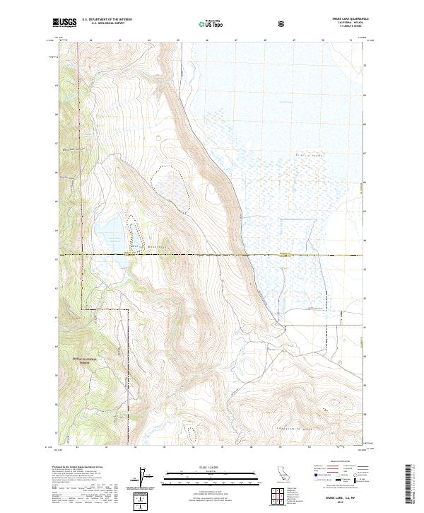
2022 Map of Snake Lake
USGS Topo · Published 2022About this map
The Warner Mountains dominate this high-desert landscape at the boundary of Modoc and Lassen Counties. Within the protected bounds of the Modoc National Forest, the terrain drops sharply from the South Warner ridges into the broad Surprise Valley to the east. This transition is marked by steep drainages like Waterbox Canyon and Snowslide Canyon, which channel seasonal runoff toward the valley floor. Water management is a central theme of the area's geography, evidenced by the Bare Cr Ditch and the Sworinger Reservoir, which collect and redirect flow for agricultural use in the arid basin. In the northeast, the expanse of Lower Lake sits as a prominent hydrological feature, while the southern portion of the sheet is characterized by the rising elevations of the Coppersmith Hills. Small reliable water sources, such as Van Riper Spring, provide critical points of interest in this remote corner of California.
Find a feature on this map
27 named features on this map. Tap any name to fly to it.
Don’t see what you’re looking for? This feature index may not catch every label — zoom into the map to look around manually.
Map Details
Editions of this 2022 Snake Lake Map
This is the sole edition of this map. No revisions or reprints were ever made.
Other maps of this area

1886 · Alturas
USGS Topo · 1:250,000

1889 · Long Valley
USGS Topo · 1:250,000

1892 · Alturas
USGS Topo · 1:250,000

1954 · Vya
USGS Topo · 1:250,000

1954 · Alturas
USGS Topo · 1:250,000

1958 · Alturas
USGS Topo · 1:250,000

1958 · Vya
USGS Topo · 1:250,000

1962 · Alturas
USGS Topo · 1:250,000

1962 · Vya
USGS Topo · 1:250,000

1962 · Snake Lake
USGS Topo · 1:24,000