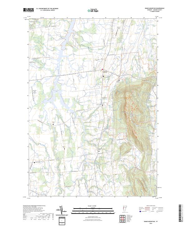
2024 Map of Snake Mountain
USGS Topo · Published 2024About this map
Snake Mountain dominates the eastern horizon of this landscape, its steep slopes rising sharply above the fertile lowlands of the Champlain Valley. The agricultural character of the region is evident in the dense network of drainage systems, including the complex branches of Dead Creek, Wards Creek, and the Lemon Fair River. These waterways have long defined the boundaries of farmsteads and transport routes in Addison, where the local economy remains tied to the land.
Find a feature on this map
66 named features on this map. Tap any name to fly to it.
Don’t see what you’re looking for? This feature index may not catch every label — zoom into the map to look around manually.
Map Details
Editions of this 2024 Snake Mountain Map
This is the sole edition of this map. No revisions or reprints were ever made.
Other maps of this area

1894 · Port Henry
USGS Topo · 1:62,500

1894 · Ticonderoga
USGS Topo · 1:62,500

1896 · Ticonderoga
USGS Topo · 1:62,500

1898 · Port Henry
USGS Topo · 1:62,500

1902 · Ticonderoga
USGS Topo · 1:62,500

1902 · Brandon
USGS Topo · 1:62,500

1903 · Middlebury
USGS Topo · 1:62,500

1904 · Brandon
USGS Topo · 1:62,500

1905 · Middlebury
USGS Topo · 1:62,500

1920 · Brandon
USGS Topo · 1:62,500