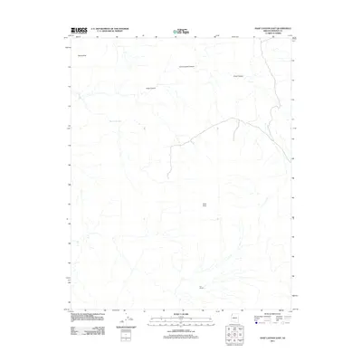
2011 Map of Snap Canyon East
USGS Topo · Published 2011About this map
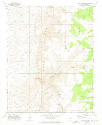
Nevershine marks the northwestern corner of this remote Arizona landscape, where the high desert terrain is defined by a network of drainage systems and isolated water sources. The map provides a detailed view of the complex hydrography within the Snap Canyon and Cunningham Canyon systems, revealing the drainage patterns that have shaped this portion of Mohave County. For those tracing historical land use or regional travel routes, the presence of Water Pockets Tank offers insight into the essential water management required in this arid environment. The elevation rises toward the prominent overlook at Snap Point, providing a geographical anchor for the surrounding canyonlands during the early 21st century.
Find a feature on this map
5 named features on this map. Tap any name to fly to it.
Don’t see what you’re looking for? This feature index may not catch every label — zoom into the map to look around manually.
Map Details
Editions of this 2011 Snap Canyon East Map
This is the sole edition of this map. No revisions or reprints were ever made.
Other maps of this area

1886 · Mt. Trumbull
USGS Topo · 1:250,000

1892 · Mt. Trumbull
USGS Topo · 1:250,000

1953 · Grand Canyon
USGS Topo · 1:250,000

1957 · Grand Canyon
USGS Topo · 1:250,000

1958 · Grand Canyon
USGS Topo · 1:250,000

1960 · Grand Canyon
USGS Topo · 1:250,000
1971 · Gyp Hills
USGS Topo · 1:24,000
1971 · Bat Cave
USGS Topo · 1:24,000
1971 · Mustang Point
USGS Topo · 1:24,000
1971 · Grand Gulch Bench
USGS Topo · 1:24,000