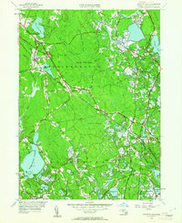
1949 Map of Snipatuit Pond
USGS Topo · Published 1962About this map
The New York New Haven and Hartford railroad cuts a diagonal path through this corner of Plymouth County, anchoring the settlement of South Middleboro. The landscape is defined by an extensive network of cranberry production and wetlands, with Benson Pond Bogs, Atwood Bogs, and Stewart Bog occupying the lowlands between Rochester and Wareham. These agricultural features are interspersed with massive wooded tracts like Cedar Swamp and Forbes Swamp, illustrating a rural economy deeply tied to the specific hydrology of the region.
Find a feature on this map
71 named features on this map. Tap any name to fly to it.
Don’t see what you’re looking for? This feature index may not catch every label — zoom into the map to look around manually.
Map Details
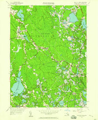
Editions of this 1949 Snipatuit Pond Map
2 editions found
Other maps of this area

1885 · New Bedford
USGS Topo · 1:62,500

1885 · Middleboro
USGS Topo · 1:62,500

1886 · Falmouth
USGS Topo · 1:62,500

1886 · Plymouth
USGS Topo · 1:62,500

1888 · New Bedford
USGS Topo · 1:62,500

1888 · Falmouth
USGS Topo · 1:62,500

1888 · Middleboro
USGS Topo · 1:62,500

1889 · Plymouth
USGS Topo · 1:62,500

1893 · Middleboro
USGS Topo · 1:62,500

1893 · Falmouth
USGS Topo · 1:62,500