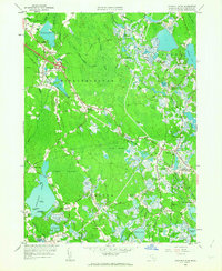
1962 Map of Snipatuit Pond
USGS Topo · Published 1963About this map
The low-lying wetlands of Southeastern Massachusetts define this 1962 landscape, where the intensive cranberry industry is evidenced by the sprawling networks of Atwood Bogs and Benson Pond Bogs. The topography is dominated by large glacial ponds, including the centrally located Snipatuit Pond with its small named landforms like Gull Island and High Bush Island. Settlement is clustered at crossroads and along the rail corridor, with South Middleboro and Rock serving as key points of human activity amidst the extensive marshes.
Find a feature on this map
60 named features on this map. Tap any name to fly to it.
Don’t see what you’re looking for? This feature index may not catch every label — zoom into the map to look around manually.
Map Details
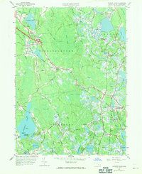
Editions of this 1962 Snipatuit Pond Map
2 editions found
Other maps of this area

1885 · New Bedford
USGS Topo · 1:62,500

1885 · Middleboro
USGS Topo · 1:62,500

1886 · Falmouth
USGS Topo · 1:62,500

1886 · Plymouth
USGS Topo · 1:62,500

1888 · New Bedford
USGS Topo · 1:62,500

1888 · Falmouth
USGS Topo · 1:62,500

1888 · Middleboro
USGS Topo · 1:62,500

1889 · Plymouth
USGS Topo · 1:62,500

1893 · Middleboro
USGS Topo · 1:62,500

1893 · Falmouth
USGS Topo · 1:62,500