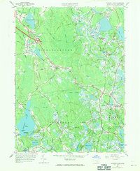
1962 Map of Snipatuit Pond
USGS Topo · Published 1971About this map
The cranberry culture of southeastern Massachusetts is evident across this landscape, where extensive wetland systems like Benson Pond Bogs and Atwood Bogs dominate the lowlands between Middleborough and Wareham. The New York New Haven and Hartford railroad cuts a diagonal path through the terrain, serving the industrial and agricultural needs of settlements such as South Middleboro and West Wareham. In the southern reaches, the Weweantic River and the East Branch Sippican River drain the complex network of swamps and ponds, including the large Snipatuit Pond with its distinctive Gull Island and High Bush Island. Local history is anchored at rural crossroads like Huckleberry Corner and Bisbee Corner, while the presence of the East Rochester Ch and Union Cem near Douglas Corner marks the centers of these small inland communities during the early 1960s.
Find a feature on this map
89 named features on this map. Tap any name to fly to it.
Don’t see what you’re looking for? This feature index may not catch every label — zoom into the map to look around manually.
Map Details
Editions of this 1962 Snipatuit Pond Map
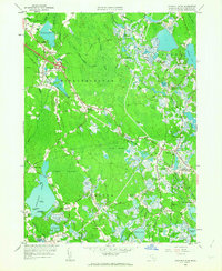
2 editions found
Other maps of this area

1885 · New Bedford
USGS Topo · 1:62,500

1885 · Middleboro
USGS Topo · 1:62,500

1886 · Falmouth
USGS Topo · 1:62,500

1886 · Plymouth
USGS Topo · 1:62,500

1888 · New Bedford
USGS Topo · 1:62,500

1888 · Falmouth
USGS Topo · 1:62,500

1888 · Middleboro
USGS Topo · 1:62,500

1889 · Plymouth
USGS Topo · 1:62,500

1893 · Middleboro
USGS Topo · 1:62,500

1893 · Falmouth
USGS Topo · 1:62,500