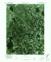
1977 Map of Snipatuit Pond
USGS Topo · Published 1981About this map
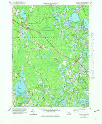
Snipatuit Pond serves as a prominent landmark in this late 1970s aerial perspective of the Massachusetts interior. The map illustrates a landscape where small, established crossroads communities like Rock and South Middleboro are integrated into a heavily wooded environment, interconnected by a developing network of highways. This orthophotoquad format provides an authentic look at land use patterns, showing the proximity of the Weweantic River to the residential pockets of West Wareham. Local family-named junctions such as Douglas Corner, Huckleberry Corner, and Five Corners reveal the traditional geography of the region, where historical property lines and small-scale settlement patterns remain visible from above. The contrast between the natural water bodies and the geometric clearings for housing and transport highlights the mid-century expansion into the Plymouth County countryside.
Find a feature on this map
8 named features on this map. Tap any name to fly to it.
Don’t see what you’re looking for? This feature index may not catch every label — zoom into the map to look around manually.
Map Details
Editions of this 1977 Snipatuit Pond Map
2 editions found
Other maps of this area

1885 · New Bedford
USGS Topo · 1:62,500

1885 · Middleboro
USGS Topo · 1:62,500

1886 · Falmouth
USGS Topo · 1:62,500

1886 · Plymouth
USGS Topo · 1:62,500

1888 · New Bedford
USGS Topo · 1:62,500

1888 · Falmouth
USGS Topo · 1:62,500

1888 · Middleboro
USGS Topo · 1:62,500

1889 · Plymouth
USGS Topo · 1:62,500

1893 · Middleboro
USGS Topo · 1:62,500

1893 · Falmouth
USGS Topo · 1:62,500