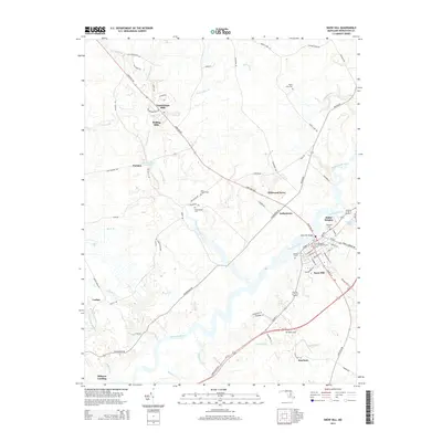
2014 Map of Snow Hill
USGS Topo · Published 2014About this map
Snow Hill sits as the central focal point of this Eastern Shore landscape, situated where the Pocomoke River bends through the cypress swamps of Worcester County. The town plan is densely detailed, featuring historic sites such as All Hallows Cem and Makemie Memorial Cem, alongside the Snow Hill Bridge. To the northwest, the terrain transitions into the forested uplands of Nassawango Hills and the rural reaches of Indiantown.
Find a feature on this map
84 named features on this map. Tap any name to fly to it.
Don’t see what you’re looking for? This feature index may not catch every label — zoom into the map to look around manually.
Map Details
Editions of this 2014 Snow Hill Map
This is the sole edition of this map. No revisions or reprints were ever made.
Other maps of this area

1901 · Snow Hill
USGS Topo · 1:62,500

1901 · Salisbury
USGS Topo · 1:62,500

1902 · Pittsville
USGS Topo · 1:62,500
1942 · Ninepin
USGS Topo · 1:24,000
1942 · Snow Hill
USGS Topo · 1:24,000
1942 · Wango
USGS Topo · 1:24,000
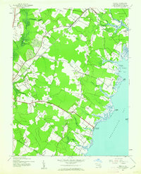
1942 · Wesley
USGS Topo · 1:24,000
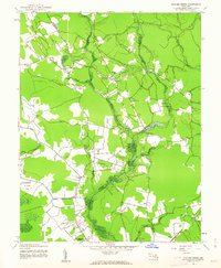
1942 · Dividing Creek
USGS Topo · 1:24,000
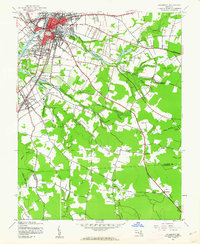
1942 · Salisbury
USGS Topo · 1:24,000
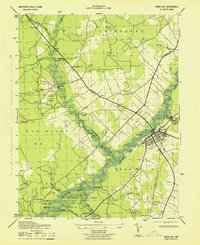
1943 · Snow Hill
USGS Topo · 1:31,680