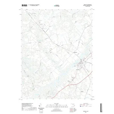
2019 Map of Snow Hill
USGS Topo · Published 2019About this map
The Pocomoke River winds through the heart of this landscape, anchoring the historic town of Snow Hill in Worcester County. The river and its many tributaries, including Nassawango Creek and Mattaponi Cr, define a terrain characterized by extensive wetlands like Bear Swamp and Franklin Swamp. This 2019 survey documents a region where water and history are deeply intertwined, visible in landmarks such as the Nassawango Mill Pond near the settlement of Furnace.
Find a feature on this map
93 named features on this map. Tap any name to fly to it.
Don’t see what you’re looking for? This feature index may not catch every label — zoom into the map to look around manually.
Map Details
Editions of this 2019 Snow Hill Map
This is the sole edition of this map. No revisions or reprints were ever made.
Other maps of this area

1901 · Snow Hill
USGS Topo · 1:62,500

1901 · Salisbury
USGS Topo · 1:62,500

1902 · Pittsville
USGS Topo · 1:62,500

1942 · Ninepin
USGS Topo · 1:24,000

1942 · Snow Hill
USGS Topo · 1:24,000

1942 · Wango
USGS Topo · 1:24,000

1942 · Wesley
USGS Topo · 1:24,000

1942 · Dividing Creek
USGS Topo · 1:24,000

1942 · Salisbury
USGS Topo · 1:24,000

1943 · Snow Hill
USGS Topo · 1:31,680