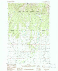
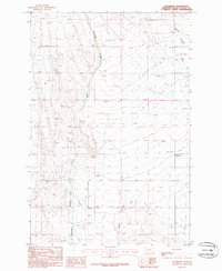
1986 Map of Snow Saucer Coulee
USGS Topo · Published 1986About this map
The Big Snowy Mountains dominate the northern landscape of this region, where the Lewis and Clark National Forest transitions into the high plains of central Montana. This 1986 provisional survey captures the complex drainage network of the area, defined by the headwaters of Careless Creek and its many tributaries. The terrain is marked by distinct geological landmarks like Windy Point, which overlooks the descent into the coulee country below.
Find a feature on this map
18 named features on this map. Tap any name to fly to it.
Don’t see what you’re looking for? This feature index may not catch every label — zoom into the map to look around manually.
Map Details
Editions of this 1986 Snow Saucer Coulee Map
This is the sole edition of this map. No revisions or reprints were ever made.
Other maps of this area

1889 · Big Snowy Mountain
USGS Topo · 1:250,000

1893 · Big Snowy Mountain
USGS Topo · 1:250,000

1954 · Roundup
USGS Topo · 1:250,000

1958 · Roundup
USGS Topo · 1:250,000

1970 · Crystal Lake
USGS Topo · 1:24,000
1970 · Half Moon Canyon
USGS Topo · 1:24,000
1970 · Jump Off Peak
USGS Topo · 1:24,000
1986 · Yaple Bench
USGS Topo · 1:24,000

1986 · Halbert Creek North
USGS Topo · 1:24,000
1986 · Rothiemay
USGS Topo · 1:24,000