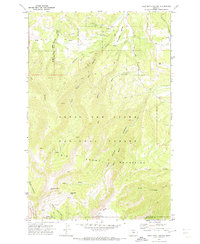
1970 Map of Half Moon Canyon
USGS Topo · Published 1973About this map
Lewis And Clark National Forest dominates the high-altitude landscape of the Big Snowy Mountains in this central Montana survey. The terrain is defined by dramatic vertical relief, rising from deep drainage systems like Big Canyon and Stovepipe Canyon to prominent summits such as Greathouse Peak and Old Baldy. The map documents a sparsely settled frontier character, where human presence is primarily marked by isolated landmarks like the Lewis Ranch and seasonal transportation routes. A complex network of Pack Trails and Jeep Trails provides the only access into the interior, connecting remote water sources like Rogers Spring and Big Spring Fork Middle Fork. This 1970s record preserves the intricate hydrography of the region, including the headwaters of Swimming Woman Creek and Half Moon Creek, as they carved their way through the limestone ridges and coulees long before modern development altered these remote drainages.
Find a feature on this map
32 named features on this map. Tap any name to fly to it.
Don’t see what you’re looking for? This feature index may not catch every label — zoom into the map to look around manually.
Map Details
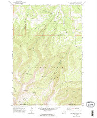
Editions of this 1970 Half Moon Canyon Map
2 editions found
Other maps of this area

1889 · Big Snowy Mountain
USGS Topo · 1:250,000

1893 · Big Snowy Mountain
USGS Topo · 1:250,000

1954 · Roundup
USGS Topo · 1:250,000

1958 · Roundup
USGS Topo · 1:250,000
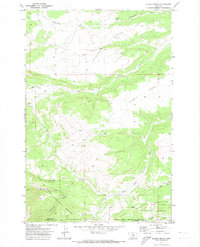
1970 · Alaska Bench
USGS Topo · 1:24,000
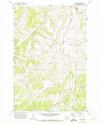
1970 · Heath
USGS Topo · 1:24,000
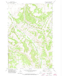
1970 · Castle Butte
USGS Topo · 1:24,000
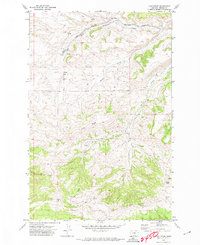
1970 · Loco Ridge
USGS Topo · 1:24,000
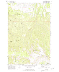
1970 · Jump Off Peak
USGS Topo · 1:24,000

1986 · Patterson Canyon
USGS Topo · 1:24,000