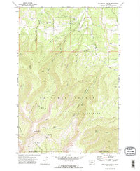
1970 Map of Half Moon Canyon
USGS Topo · Published 1973About this map
Big Snowy Mountains dominate this high-altitude landscape along the border of Fergus and Golden Valley counties. This 1970 field-checked survey reveals a complex network of drainages and peaks within the Lewis and Clark National Forest, including the prominent Greathouse Peak and Old Baldy. The map documents a rugged interior characterized by deep incisions like Half Moon Canyon and Stovepipe Canyon, which contrast with the more accessible northern reaches.
Find a feature on this map
35 named features on this map. Tap any name to fly to it.
Don’t see what you’re looking for? This feature index may not catch every label — zoom into the map to look around manually.
Map Details
Editions of this 1970 Half Moon Canyon Map
2 editions found
Other maps of this area

1889 · Big Snowy Mountain
USGS Topo · 1:250,000

1893 · Big Snowy Mountain
USGS Topo · 1:250,000

1954 · Roundup
USGS Topo · 1:250,000

1958 · Roundup
USGS Topo · 1:250,000
1970 · Alaska Bench
USGS Topo · 1:24,000
1970 · Half Moon Canyon
USGS Topo · 1:24,000
1970 · Heath
USGS Topo · 1:24,000
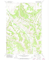
1970 · Castle Butte
USGS Topo · 1:24,000
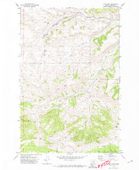
1970 · Loco Ridge
USGS Topo · 1:24,000
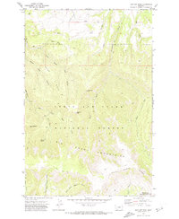
1970 · Jump Off Peak
USGS Topo · 1:24,000