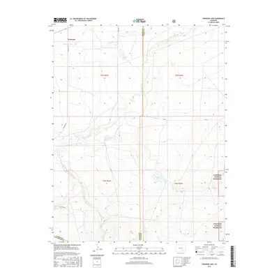
2016 Map of Snowden Lake
USGS Topo · Published 2016About this map
The Whiterock settlement anchors this section of the High Plains, where the hydrological history of Pueblo and Otero Counties is visible in the shifting path of the Apishapa River. The landscape is marked by the presence of both current and former watercourses, including the Old Channel Apishapa River, which weaves through the central portion of the map. These drainage patterns define the territory as it transitions toward the Comanche National Grassland in the southeast.
Find a feature on this map
19 named features on this map. Tap any name to fly to it.
Don’t see what you’re looking for? This feature index may not catch every label — zoom into the map to look around manually.
Map Details
Editions of this 2016 Snowden Lake Map
This is the sole edition of this map. No revisions or reprints were ever made.
Other maps of this area

1891 · Timpas
USGS Topo · 1:125,000

1891 · Apishapa
USGS Topo · 1:125,000

1893 · Apishapa
USGS Topo · 1:125,000

1894 · Timpas
USGS Topo · 1:125,000

1897 · Apishapa
USGS Topo · 1:125,000

1954 · Trinidad
USGS Topo · 1:250,000

1955 · La Junta
USGS Topo · 1:250,000

1955 · Trinidad
USGS Topo · 1:250,000

1958 · La Junta
USGS Topo · 1:250,000

1958 · Trinidad
USGS Topo · 1:250,000